
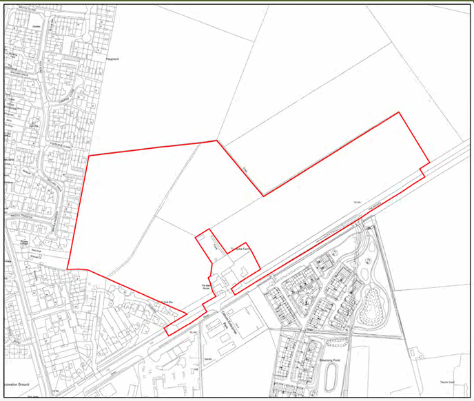
LW/25/0391 Land North of Turnpike Farm, The Broyle
On 4th November 2026, Lewes District Council’s Planning Applications Committee will be considering the above outline planning application (with all matters reserved other than access) for up to 180no. dwellings, including public open space, landscaping and associated works
The agenda for the meeting including the report for this application can be viewed at:
http://democracy.lewes-eastbourne.gov.uk/ieListMeetings.aspx?CommitteeId=428
All documents relating to the application (including the report) can also be viewed via Planning Public Access on our website at:
https://www.lewes-eastbourne.gov.uk/article/1797/Search-and-view-planning-applications
